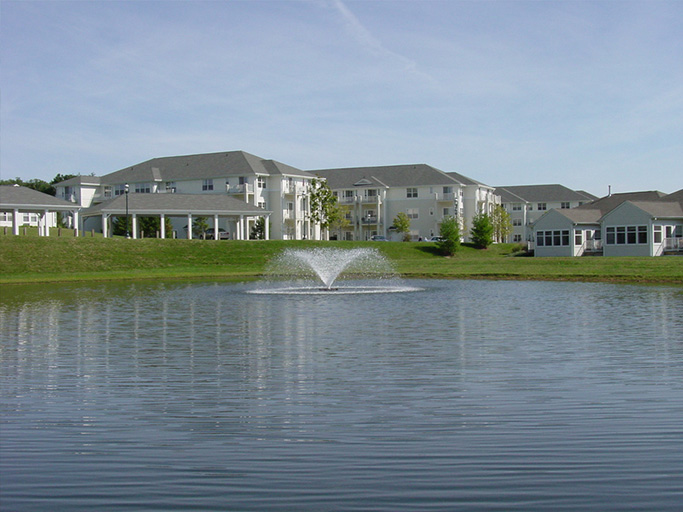
How much water is actually contained in a pond seems like a very simple question. The closest answer is calculated based on a few parameters, including acreage and depth.
Why should I measure the volume of my pond?
Determining the size of your pond is key in treating common problems and is essential for proper vegetation control. You’ll understand how much herbicide product is enough to treat the water inside the pond. If the treatment is too small, it won’t have any effect, but if you add too much, it could harm the fish and other organisms found in the body of water.
How do I calculate my pond’s volume?
To calculate the volume of a pond, you must know the acreage of your pond and the average depth. Below, we’ve provided a makeshift pond volume calculator with a few methods and pond volume formulas you can use to gather the data yourself.
1. Measuring Pond Area
First, you’ll need to measure the area of your pond, which can be determined by measuring distances around the perimeter of your pond. You can use a tape measure, measuring wheel or even a rangefinder to perform the measurements.
Look at the general shape of your pond to select the right calculation for the area. For example, if your pond is round or circular, you can measure the “length” of your pond from one end to the other to find the diameter. The radius (r) is half the diameter, and you then use the multiplication formula: Area=πr².
For a square or rectangular pond, you would measure the length (l) and width (w) and use the formula: Area=lw.
For triangular pond volume, pick one straight side as the base (b) and measure that distance. Then from your base, determine the height (h), or distance, from the line of the base to the opposite “point” of the triangular pond to determine metrics for the formula. You would then use this formula: Area=½ bh.
If you record all of the measurements in feet, then the calculated area would be in square feet (ft²) going forward. These methods can give you a relatively accurate way of calculating the area of your pond.
2. Converting into Acres
Once you know the area of your pond in square feet, you need to calculate the acres. One acre is 43,560 ft², and so you divide your pond’s square footage by 43,560. For example, if your pond measures 21,780 ft², it would be 0.5 acres.
Another method that is readily accessible and very accurate is to download Google Earth on your computer. There is a function that allows you to simply outline your pond from above and receive the acreage.
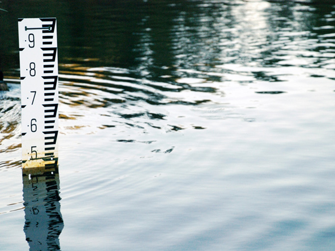
3. Measuring Pond Depth
Once you have your pond’s acreage calculated, you need to find the average depth of your pond. A quick and fairly accurate way to get your average depth is to measure the deepest point in your pond and divide it by two. So, if your pond’s deepest point is 8 feet, the average depth would be 4 feet.
4. Calculating Pond Depth
Now you have the acreage and average depth. By multiplying these together, you get the acre-feet for your pond. This metric can now be converted to calculate pond volume.
One acre-foot of water is 325,851 gallons, and so you multiply your acre-feet (AF) by 325,851 to get your volume. Using the examples above, a 0.5 acre pond with an average depth of 4 feet would be 2 acre-feet or 651,702 gallons.
Using Bathymetric Mapping for Precision Pond Measurement
To get the most precise measurement of volume, bathymetry can be used. By its simplest definition, bathymetry is the measurement of the depth of a body of water. A bathymetric map calculates the depths of a given pond or lake, which can then be used for various applications.
Bathymetric maps are often used for comparisons of how a body of water has changed in depth and sediment accumulation between two points in time. They can also help check the before-and-after of a dredging project.
Collecting Data for a Bathymetric Map
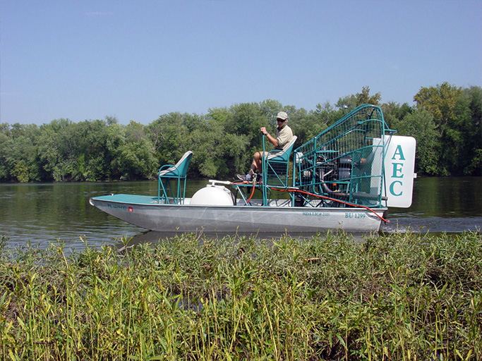
A bathymetric map is generated by using an acoustic sounding device linked with global positioning systems (GPS). The sounder and GPS unit are mounted to a boat, and as you make transects across the pond or lake, depths are recorded and paired with a GPS location.
Once the data is collected, it is transferred into a mapping software program to generate the bathymetric map. Depending on how sophisticated the equipment and mapping program are, bathymetrric maps can often generate extremely accurate depictions of the bottom of a lake or pond.
The bottom contour map provides insight into how things look under the water’s surface. You can see creek channels, debris piles, logs, outboard motors and other features. With all the subtle changes in elevation mapped out, a property owner can be much more confident in the total volume of their pond.
Contact Aquatic Environment Consultants, Inc.
AEC is a leading bathymetric mapping company serving the mid-Atlantic region, and we use state-of-the-art measuring equipment to ensure accurate data is collected. If you need to find the volume of a pond or lake on your personal or commercial property, contact us today!
1 Comment
Add Comment